
Main Page | Gurliaccio Home Page
Matteo | Michele | Giuseppe | Francesco | Giuseppe | Salvatore | Joseph
Gurliaccio DNA | Other Gurliaccio Families
Map Of Italy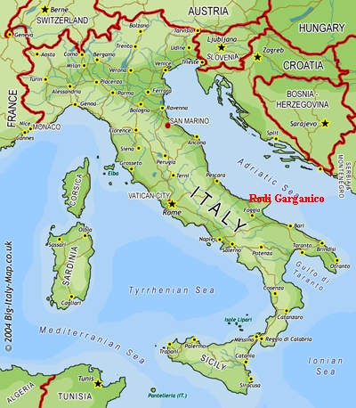
|
Map Of Gargano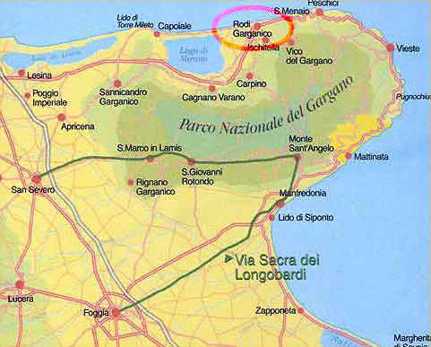
|
Street Map Of Rodi Garganico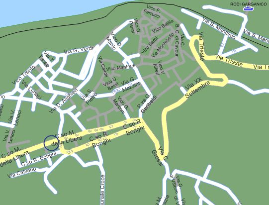
|
Rodi Garganico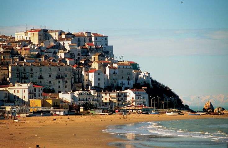
|
Rodi Garganico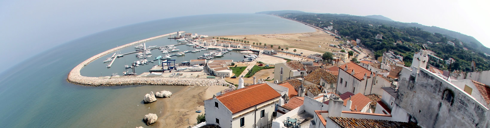
|
Rodi Garganico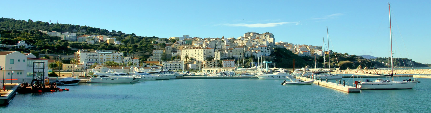 |
| The small seaside town of Rodi on the Manfredonia Gulf is built about 46 meters above sea level and surrounded by Mediterranean vegetation of orange and olive trees. The 4000 or so inhabitants are called "Rodiani" and their main activities are fishing, trades, and some industry and commerce of local fruit which is, for the largest part, citrus. It was founded by the Cretans as a stopping place along the route to Rhodes. The Rhodians (Rodiis Argivi) took it over in the 8th century BC giving the place their name. Under the Romans it was a Municipium and called Uria. With the fall of the Roman Empire Rodi suffered through difficult times: it was destroyed by the Goths in 485 AD, rebuilt in 553 after the Greek-Gothic war and attacked by the Saracens in 950. In 1240, the town allied with Frederick II, was sacked by the Venetians and in 1446 was the fief of Alfonso of Aragon until the XIX century. During the Middle Ages Rodi was surrounded by walls with towers and ruled by the De Riccardis, Carafa, Caracciolo, Spinelli, Brancia and Sanfelice families. It was for centuries a busy trading port with Dalmatia, the Middle East and other Mediterranean countries. Rodi enjoyed a new flourishing period from the XVI century thanks to its citrus production, which was nationally exported. |